
A R E A S O F E X P E R T I S E
|
E N V I R O N M E N T A L
I M P A C T S A N D P E R M I T T I N G 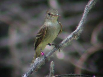
Southwestern willow flycatcher
|
C O N S T R U C T I O N
M O N I T O R I N G 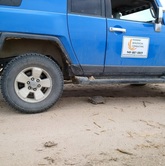
Desert tortoise Under Vehicle
|
D A T A A C Q U I S I T I O N
A N D M A N A G E M E N T 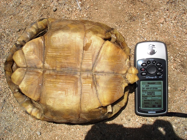
Desert tortoise carcass
|
F O C U S E D T H R E A T E N E D
A N D E N D A N G E R E D S P E C I E S S U R V E Y S 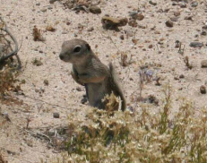
Mohave ground squirrel
|